A project combining input from architecture professionals and students, Oregon Coast community members, and state emergency management experts is helping design signage improvements and alternative strategies for wayfinding in the event of a tsunami on the Oregon Coast.
Hajo Neis, associate professor of architecture (UO Department of Architecture, Portland Program) and director of PUARL (Portland Urban Architecture Research Laboratory), has partnered with the Oregon Office of Emergency Management (OEM) on a grant from the National Oceanic and Atmospheric Administration to develop “Up and Out: Oregon Tsunami Evacuation Wayfinding Project.”
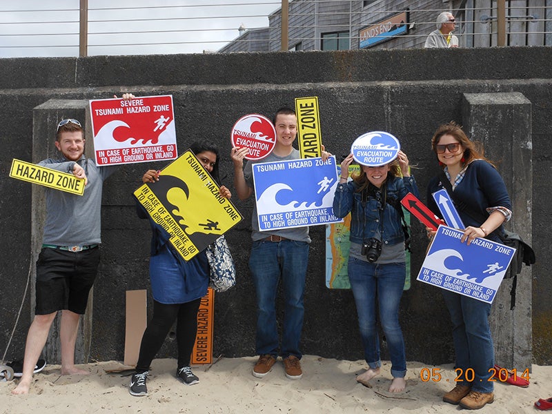
Above: Students involved in the wayfinding project include Srivarshini Balaji, Annie Ledbury, Perrin Wright, Jacob von Simonson, Kaeli Nolte, and Hanah Pempus.
In late July 2014, a community charrette was held in Astoria, Oregon, facilitated by architecture professionals and UO students and alumni. OEM’s Althea Rizzo, OEM Geologic Hazards Program coordinator, has worked closely with Neis on the project. The goal of the charrette was to educate, listen to concerns, get feedback on design ideas, and generate new concepts for signs to improve wayfinding in the event of a tsunami. By partnering with OEM, the project will promote awareness of tsunami evacuation and urban design strategies that communities can implement to assist people find their way to safe ground following a disaster.
The charrette targeted stakeholders from many different cities and rural areas along the Oregon Coast. The city of Cannon Beach was used as a case study to explain concepts. Stakeholder participants included city officials and committee members, first responders, Community Emergency Response Team volunteers, parks departments, ODOT, planners, emergency managers, and interested citizens. The communities of GearhWarrenton, Astoria, Nehalem, Cannon Beach, Tillamook, Hammond, Seaside, Portland, Oceanside, Clatsop County, Pacific City, Sandlake, and Neskowin were represented.
The results of findings from the students’ work in Cannon Beach are now available online for public viewing. The publication will eventually be made available on the website for the Oregon Office of Emergency Management. Until then, “Up and Out Oregon Tsunami Wayfinding Research Project” is available on the PUARL website.
Neis and students assisting with this project are continuing their work into spring 2015.
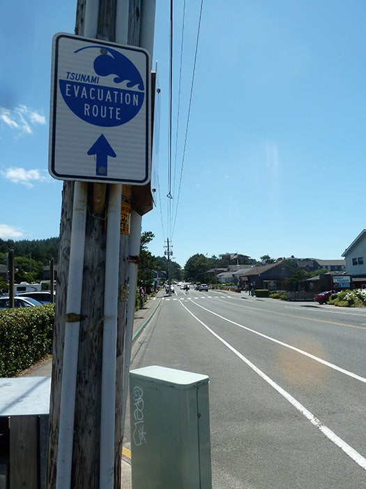
Above: The goal of a community charrette was to educate, listen to concerns, get feedback on design ideas, and generate new concepts for signs to improve wayfinding in the event of a tsunami.